A
Control and levelling
Primary and secondary control networks, precise levelling, deformation monitoring on dams and quays. Adjusted in-house, reported with the residuals attached.
±2 mm / km
69°38′55″ N 18°57′10″ E / est. 1998
A survey and cartography office in Tromsø. Six people, two boats, one plotter that has never once jammed on a Friday.
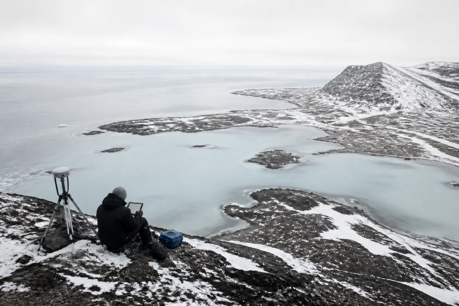
A
Primary and secondary control networks, precise levelling, deformation monitoring on dams and quays. Adjusted in-house, reported with the residuals attached.
±2 mm / km
B
Point clouds at 40 to 400 points per square metre, classified and delivered as LAZ with a terrain model on top. We fly our own missions between March and October.
400 pt/m²
C
Multibeam bathymetry to IHO Special Order in sheltered water, Order 1a offshore. Tide-reduced against our own gauges, not the nearest port.
IHO S-44
D
Everything above turned into a sheet somebody can fold in a wind. Colour, hierarchy and generalisation are decided by a cartographer, not a default style.
6 colours
Sold at the office and by six chandlers along the coast. Every sheet carries its survey date on the reverse; we do not reprint without resurveying.
| Sheet | Area | Scale | Projection | Ed. | Year |
|---|---|---|---|---|---|
| N-114 | Kvaløya, north coast | 1:25 000 | ETRS89 / UTM 34N | 4th | 2026 |
| N-108 | Lyngen, glacier margins | 1:15 000 | ETRS89 / UTM 34N | 2nd | 2025 |
| N-097 | Tromsøysundet approaches | 1:10 000 | ETRS89 / UTM 33N | 7th | 2025 |
| N-091 | Senja, western fjords | 1:50 000 | ETRS89 / UTM 33N | 3rd | 2024 |
| N-083 | Balsfjord, valley floor | 1:25 000 | ETRS89 / UTM 34N | 5th | 2024 |
| N-076 | Ringvassøya interior | 1:50 000 | ETRS89 / UTM 34N | 2nd | 2023 |
A contour is an opinion about where a slope stops being one slope. We publish ours at three generalisation levels and say which one you are looking at.
Our terrain models come out of lidar we flew ourselves, so we know what the vegetation was doing that week and how much of the ground we actually saw through it.
Where the point cloud is thin, the sheet says so. There is a small grey tint on the reverse index for every square kilometre we would not stake a boat on.
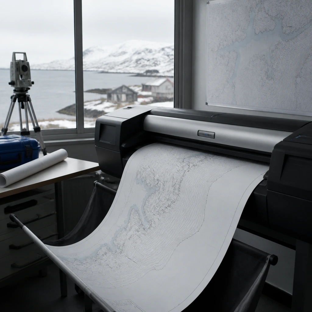
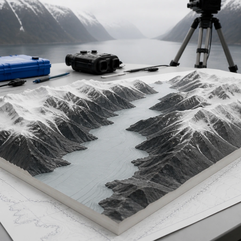
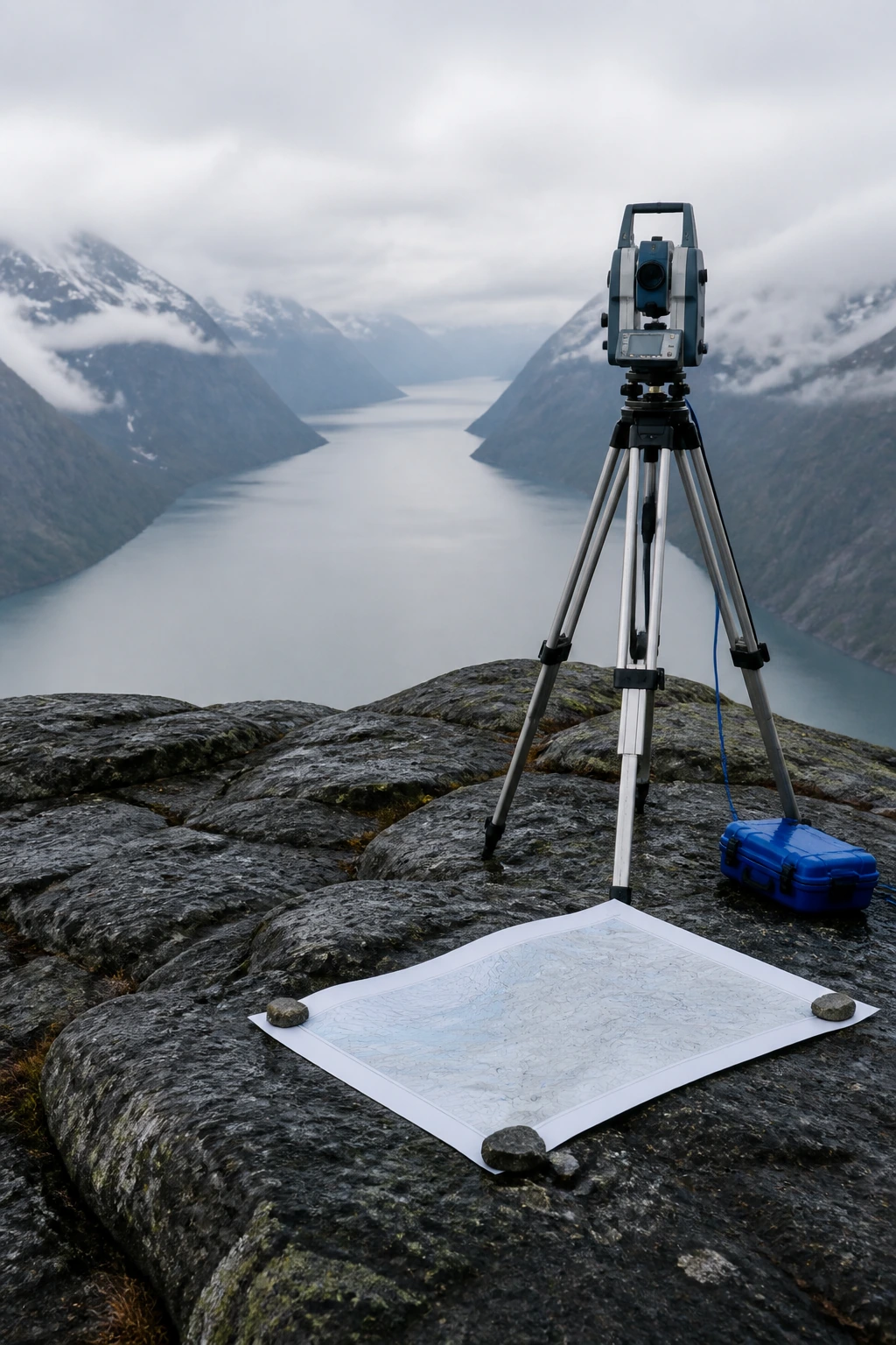
Three tints, printed in that order. Every sheet in the catalogue uses the same three and nothing else.
01
Flat tint under everything. Two steps only: charted depth and the rest. A third step would imply a survey we have not done.
02
Hillshade from our own lidar, never from a public model. Where the cloud is thin the tint stops and the sheet says so.
03
The only layer allowed the accent blue. Roads, tracks, cairns, and the two ferries that still run in winter.
Everything is owned, calibrated annually, and taken to the field by the person who booked it.


