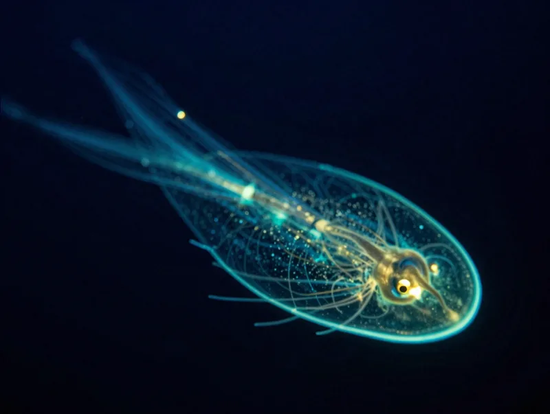
Pacific
Twilight Zone Survey
200–1000m · ongoing
We fund open expeditions and publish every reading, turning the deep sea into data anyone can build on.
The deep sea belongs to everyone, so the data should too. We publish every reading the day it is verified.
Standardised sensors from surface to a thousand metres.
Every dataset released under a permissive license.
Grants that put early-career scientists on the water.
Partners on four oceans and counting.
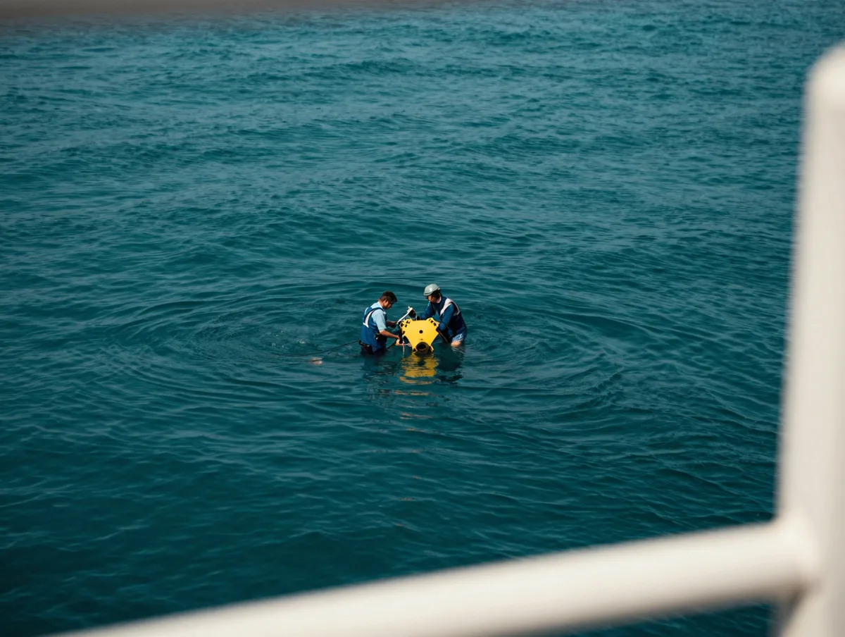
We buy ship time on working research vessels and instrument them to a shared standard, so the data lines up.
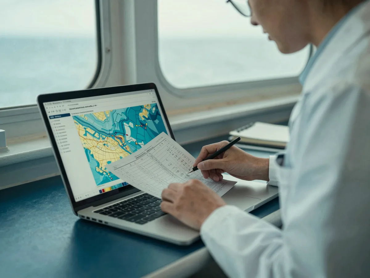
Every release ships with methods, calibration, and code, so another lab can build on it the same day.
Live science, from surface to seabed.
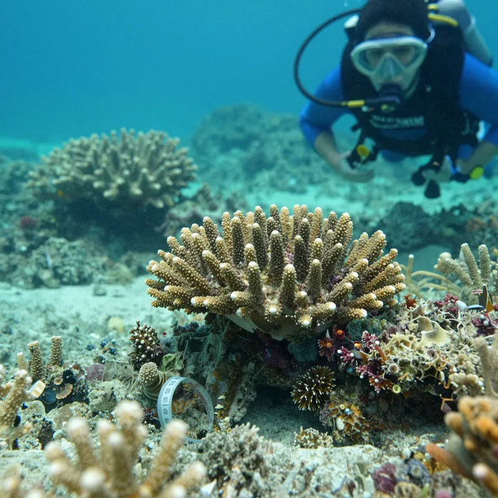
A vivid coral reef survey with a diver's slate, bright teal water and yellow tape measure. Square product photograph, soft natural studio light, shallow depth of field, high detail, no text. Color palette: #04252b, #0d9488, #5eead4, #fef9c3. Use #04252b as the background so the image blends into the page.
Every figure here is pulled from the fleet log at the close of each quarter.
Two research catamarans, out of Monterey and Kodiak, crewed year round.
Fourteen fixed sensor arrays between 200 and 2,800 metres, reporting hourly.
A 1,900 kilometre transect of the eastern Pacific shelf, resurveyed twice a year.
Temperature, salinity, oxygen, pH, and passive acoustics on every station.
Raw and open inside thirty days. No embargo, no login, no licence fee.
Sixty-one percent public grants, thirty-two percent individual gifts, seven percent licensing.
Small teams, long rotations, and everybody stands a watch.
Physical oceanographer, twenty-two seasons at sea and still counting them.
Keeps two boats and fourteen moorings alive on a nonprofit budget.
Built the pipeline that gets raw sensor data public in under a month.
Runs the acoustic survey and can name a whale from its call alone.
“Their open data saved my lab a year of fieldwork.”
Members, grants, and philanthropy. No paywalls, ever.
Yes, the license permits commercial reuse with attribution.
We open a grant round twice a year, applications on the site.
Occasionally for shore work. Join the list to hear first.